Lincoln National Forest Land Management Plan Revision and Environmental Impact Statement
Alternatives Comparison
Alternatives Analyzed
Alternative A: Current 1986 Forest Plan - the No Action Alternative
Divides the Forest into many management areas, does not take an overarching landscape-level approach or employ adaptive management.
Alternative B: Draft Forest Plan - Proposed Action
A balanced approach. Natural resource restoration and uses by local economies as well as recreationalists. Flexible in risk management of the wild land urban interface.
Alternative C: Natural Processes
Minimizes human intervention and allows natural process to manage natural resources. This alternative has the most recommended wilderness.
Alternative D: Active Natural Resource Management
Natural resources restoration emphasized with focus on riparian areas, wildlife habitat and aquatic areas.
Alternative E: Human Uses Emphasized
Promotes developed recreation with improved access, limits recommended wilderness, provides less protection for caves and emphasizes commodity use (grazing, mining, timber).
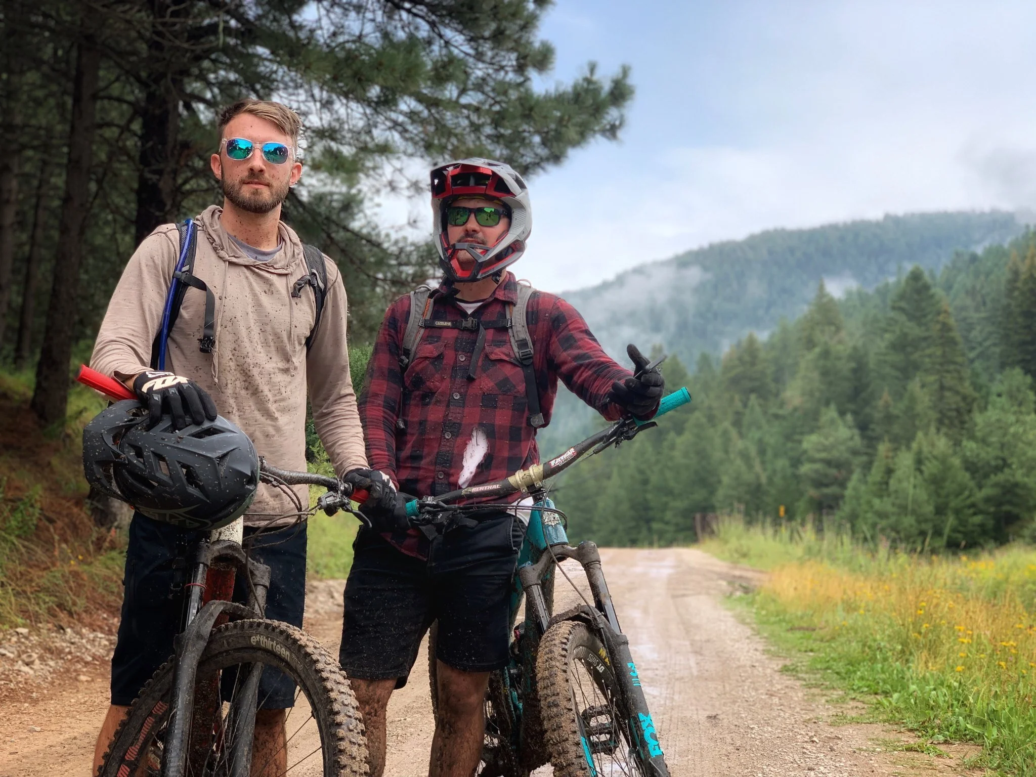
Mountain bikers on the Sacramento Ranger District
Alternatives Comparison
The difference in alternatives is based on the outcomes that focus Forest Service efforts. In particular, the differences between alternatives can be seen in the acres for recommended wilderness and the number of Management Areas. The 1986 Forest Plan has three proposed Research Natural Areas (RNAs). The proposed RNAs were re-evaluated and one was found to meet objectives and has been included in the action alternatives. In addition, the Lincoln National Forest has world-class caves and in Alternatives B, C, and D they have been given additional protection with two Management Areas—the Snowy River with 21,600 acres and the Guadalupe with 26,400 acres (more information on the types of protection are on this page). All action alternatives include 54 eligible National Wild and Scenic River segments totaling approximately 139 miles.
Interactive Map with Alternatives Analyzed
Notes on map use
You can access the map legend by toggling it on or off with the arrow in the upper left corner
You can click on a symbol in the map to find out more information
You can search for an address in the upper right corner
Next Station: Management Areas
For more information on the project or to be added to the mailing list, please contact Diane Prather at (575-649-9405) or diane.prather@usda.gov.


